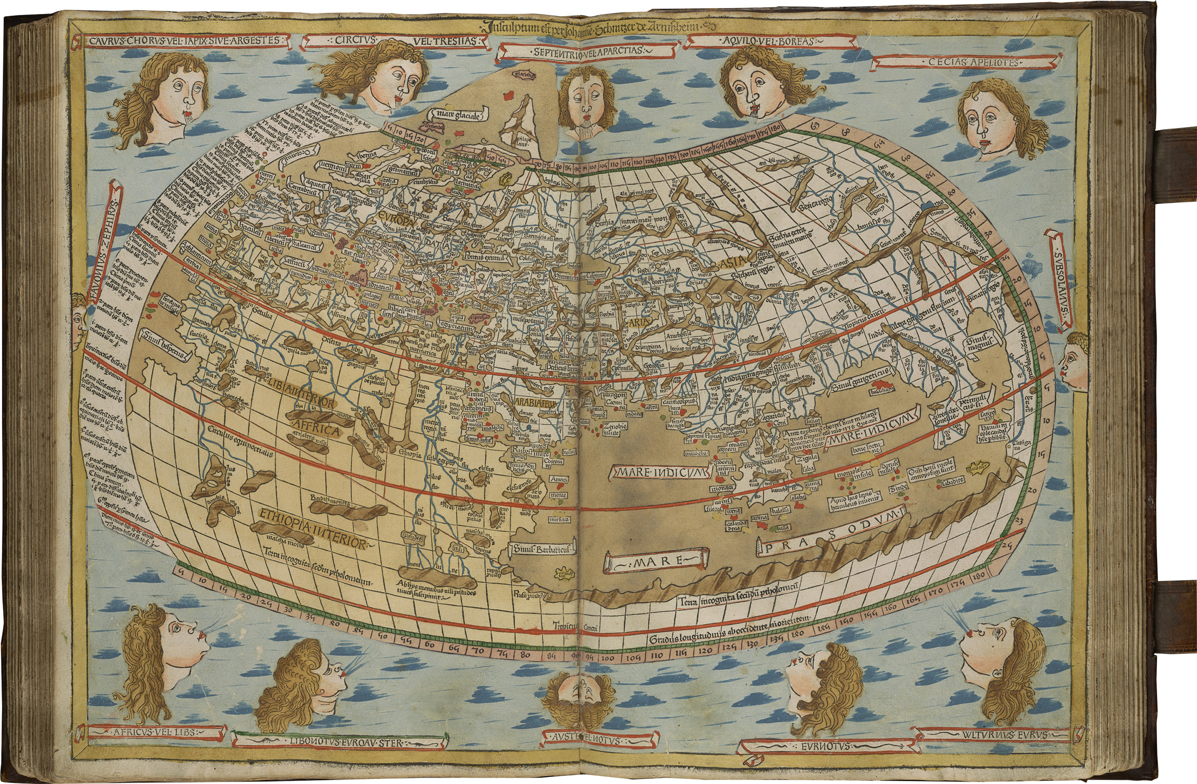
The Ptolemaic map of the world is based on the detailed geographical description in Ptolemy's book Geography, written in Alexandria in the second century CE.
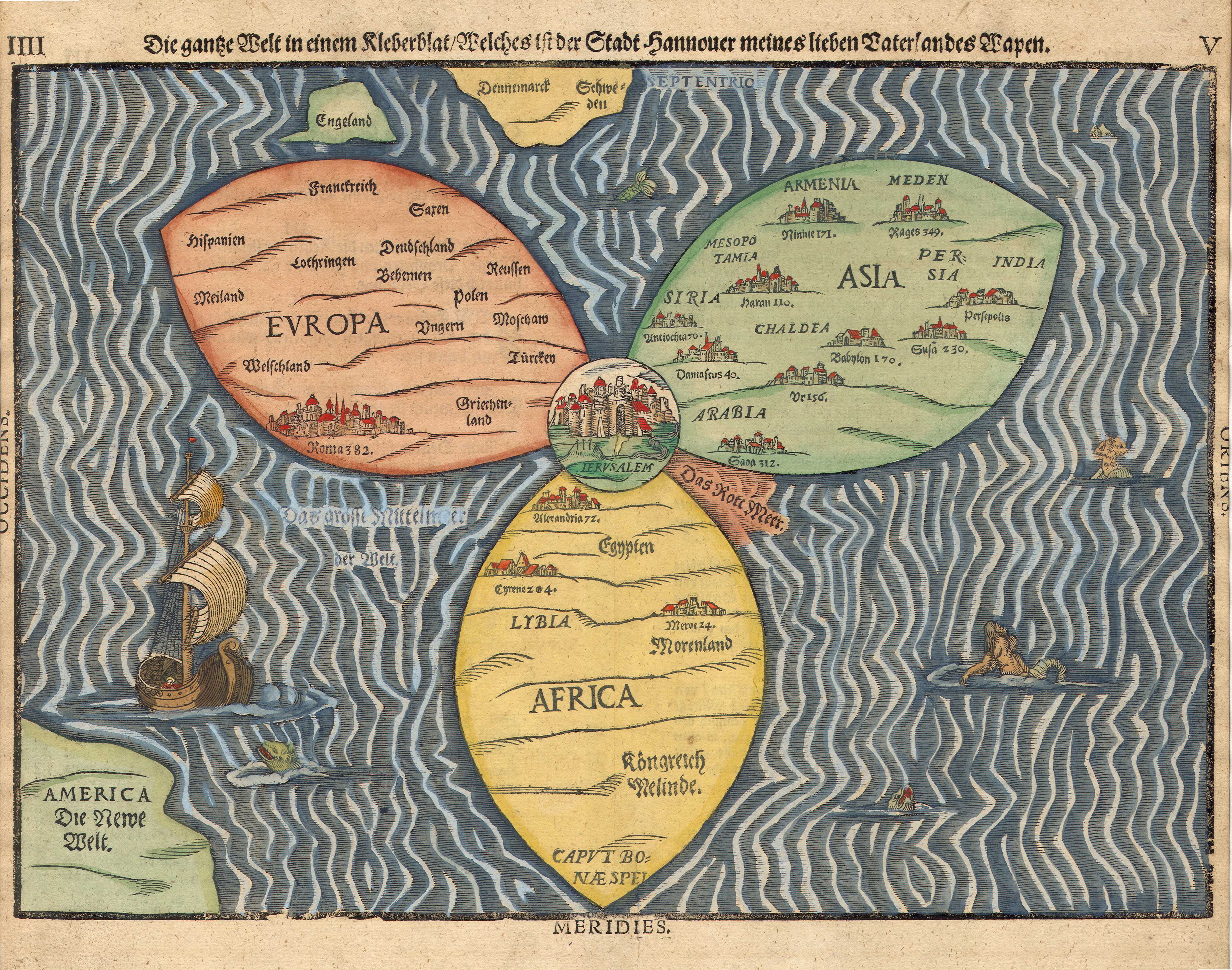
Extant maps that rely on this description are from the medieval period. As in the Bunting clover leaf map, published in Germany in 1581, the Ptolemaic map divided the world into three continents: Asia, Europe and Africa. This division was first depicted in Ionia at Asia Minor in the mid-first millennium BCE, and is known as the Ionian map of the world.
Jewish texts from the Second Temple period, such as Jubilees and Josephus, adopted this model but with several changes. For example, they transferred the center of the world from Delphi in the Graeco-Roman maps to Jerusalem.
In contrast to the Ionian map, a world map carved into a clay table from Babylon reflects a markedly different perception of the world. This map depicts a large land mass surrounded by water, without the division into three continents.
A survey of rabbinic literature reveals no mention of the division of the world into three continents. This contrasts with the earlier Jewish Hellenistic tradition and contemporary Roman geography. Rabbinic texts avoided the topic of world geography as well as the reduction in mentions of distant Jewish communities.
I would like to suggest that this absence reflects the inward turn in the Jewish world that is characteristic of rabbinic literature. This inward-looking orientation was a political result of the Bar Kokhba revolt.